

A sediment core image of MIS 2 outwash in the Mississippi River Valley, taken with the SuPeR Lab's ultra-high resolution, focus-stacking, automated core imaging system.


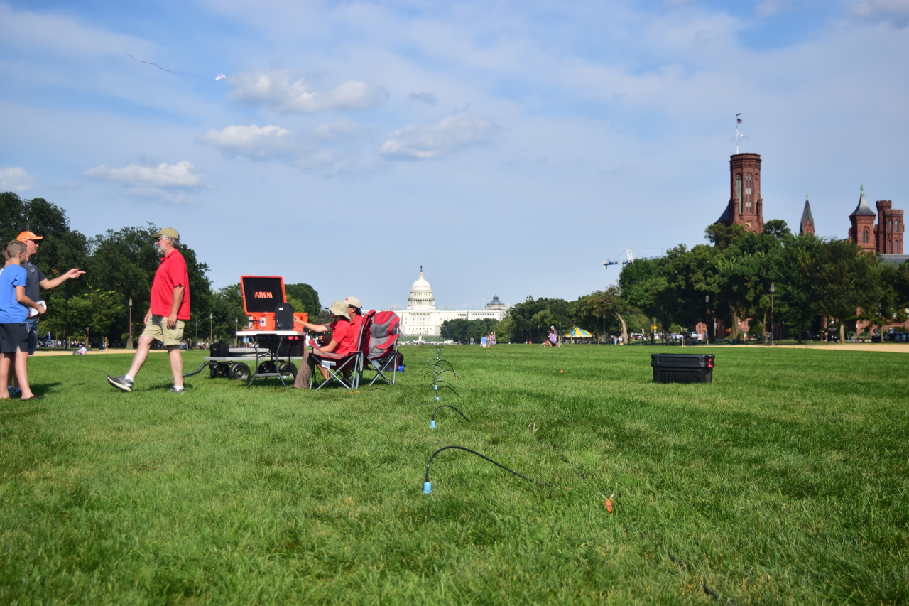
We have an extensive collection of seismology research equipment including an Impulse Radar Crossover 730 ground penetrating radar (GPR) system that can image to depths up to 40 m; an ABEM Terrameter LS2 ER system that can image to depths of 65 m; and a Geometrics Geode with a 24 channel geophone array that can acquire seismic refraction
microtremor data (ReMi) and produce 2d tomograms.


